

Now Reading: Light to Moderate Rains Expected in Tamil Nadu Until Sunday
-
01
Light to Moderate Rains Expected in Tamil Nadu Until Sunday

Quick Summary:
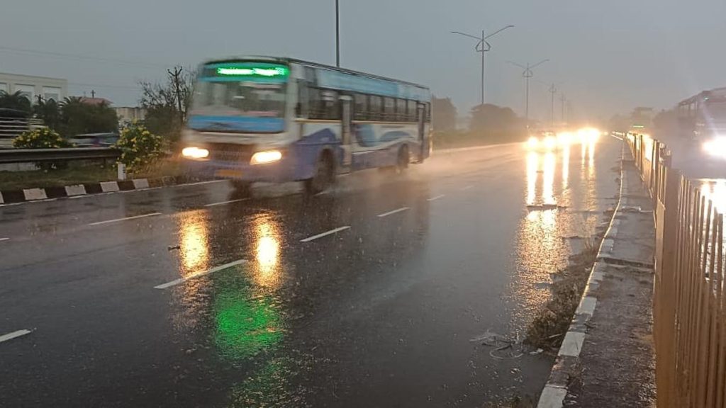
- Rainfall and Weather Update: overnight downpour impacted Vellore town and neighboring areas, including Ambur, Vaniyambadi, Arani, and Gudiyatham.
- Southwest Monsoon Activity: The Regional Meteorological Centre (RMC), Chennai, reports active Southwest Monsoon over North Coastal Tamil Nadu.
– Light to moderate rainfall forecast across parts of Tamil nadu, Puducherry, and Karaikal until Sunday.
– Rainfall might potentially be accompanied by thunderstorms, lightning, and gusty winds (30-40 kmph).
- Key Weather Systems in Play:
– North-south trough persists from South Interior Karnataka to Comorin area across Tamil Nadu at a height of 0.9 km above sea level.- East-west trough observed from Southeast Bay of Bengal to Kerala at a height of 5.8 km above sea level via tamil Nadu.
- Heavy Rain Alert:
– Thursday: Expected in districts like Nilgiris, Salem, Vellore among others; also in Puducherry and Karaikal areas.
– Friday: Likely for Tiruvallur, Ranipet, Kancheepuram districts among others.
- Temperature Extremes (Past Day):
– Highest Maximum Temperature: Palayamkottai at 37.9°C
– Lowest Minimum Temperature: Karur Paramathi at 21.5°C.
Indian Opinion analysis:
The active Southwest Monsoon showcases diverse impacts within Tamil Nadu’s climatic regions-bringing much-needed rain while raising concerns about localized flooding in urban areas like vellore. The presence of multiple weather systems suggests continued monsoonal influence over the region this week.
While the rains provide relief from heatwaves as recorded with extreme temperatures such as palayamkottai’s high of nearly 38°C earlier this week-they underscore infrastructure vulnerabilities during heavy downpours affecting connectivity through key districts like Ranipet or highways such as NH48.
Such comprehensive forecasts by RMC should aid individuals and authorities to take precautionary measures against possible disruptions while leveraging rainwater harvesting opportunities.
Read more: Link


Related Posts
Stay Informed With the Latest & Most Important News
Previous Post
Next Post


Advertisement