


Now Reading: NIT-C Team Evaluates Mudslip Impact on Ghat Road
-
01
NIT-C Team Evaluates Mudslip Impact on Ghat Road

Quick Summary
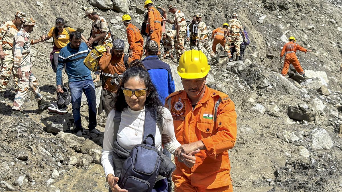
- Experts from the National Institute of Technology, calicut (NIT-C) visited the site of a mudslip near the ninth hairpin curve on Wayanad Ghat Road.
- The incident occurred on August 26, causing traffic disruptions for a couple of days.
- The expert team included NIT-C faculty members Santhosh G. Thambi, Pradeep Negi, Anil Kumar, and research scholar Manu George.
- Using drones for real-time kinematic surveys, they collected images to generate 3D models that may predict future mudslides and assess land stability.
- A preliminary report will be submitted to the district Collector for analysis; further studies using Ground Penetrating Radar (GPR) may follow if needed.
- Officials accompanying the team were Deputy Collector M. rekha, PWD Executive Engineer K.V.Sujeesh (NH section),Soil conservation officer M. Rajeev, and hazard analyst P. Ashwathi.
Indian Opinion Analysis
The mudslip assessment by NIT-C highlights India’s growing reliance on advanced technology like drone-based surveys and Ground Penetrating Radar in disaster management. By leveraging scientific modeling tools to predict potential hazards in vulnerable areas such as Wayanad’s Ghat Road region-a critical transit route-local authorities aim to prevent disruption and protect public safety effectively.
This situation emphasizes how collaboration between academic institutions and government bodies can address infrastructure challenges caused by natural disasters more comprehensively. Implementing findings from these studies may set a precedent for proactive disaster mitigation strategies elsewhere in India’s geographically sensitive regions.
For more details: Read More


Related Posts
Stay Informed With the Latest & Most Important News
Previous Post
Next Post


Advertisement